Search a place
Start with a country, city, region, landmark, or street instead of a satellite scene catalog.
Historical satellite imagery, without the archive learning curve
EarthTrace turns public NASA satellite layers into a simpler timeline map. Search a country, city, region, or street, choose a date, and see what the public record can show.
Open map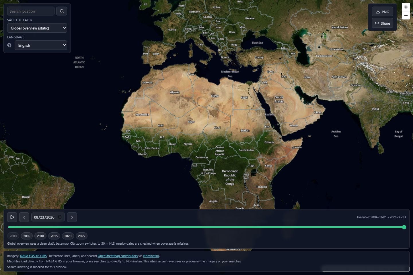
The idea
People search for historical satellite imagery to understand urban growth, shrinking lakes, new roads, storm damage, farmland change, or simply how a familiar place looked before. EarthTrace gives that curiosity a clean starting point.
What you can do
Start with a country, city, region, landmark, or street instead of a satellite scene catalog.
Move the timeline, use year shortcuts, or jump to nearby dates when the selected day has gaps.
The product site and the map viewer share the same 12-language experience.
Copy a link that keeps the place, date, layer, zoom, and language, or export the current map view as a PNG.
Use cases
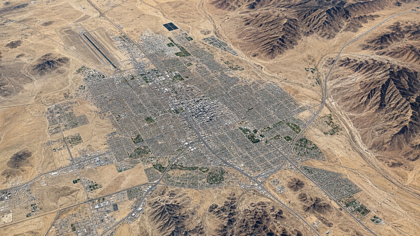
Compare the broad shape of roads, airports, suburbs, industrial areas, ports, and desert-edge growth over time.
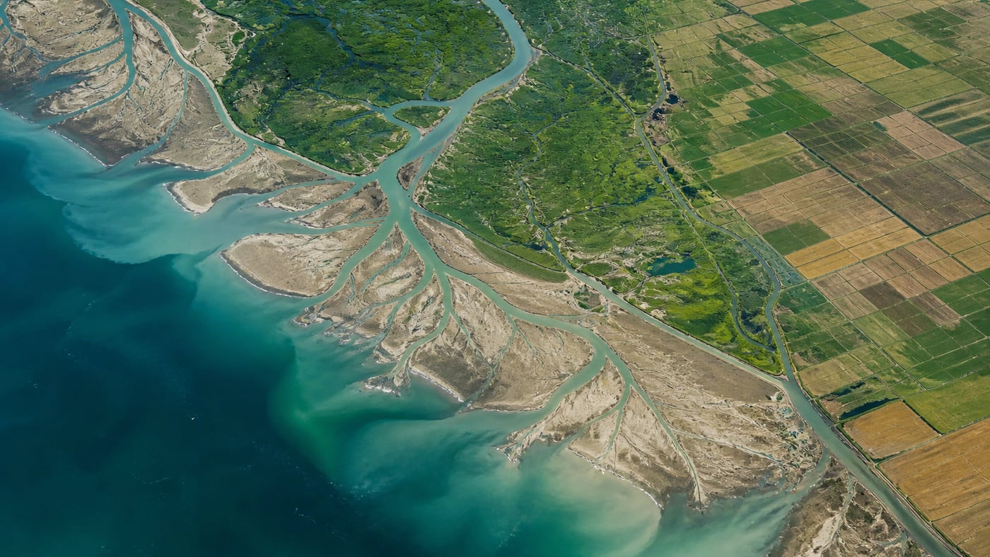
Follow large patterns in lakes, deltas, reservoirs, shorelines, farmland, burns, snow, and vegetation recovery.
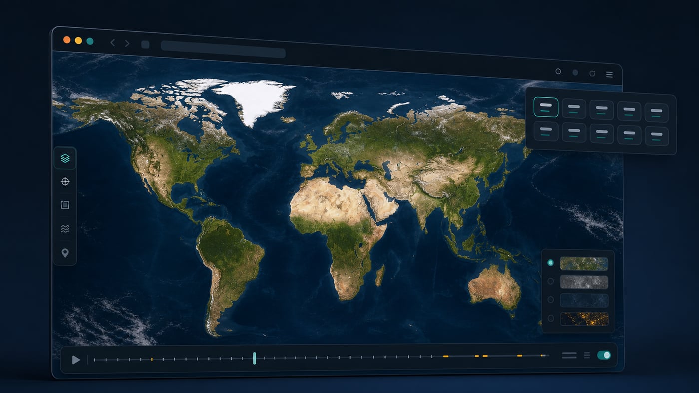
Keep the interface approachable for students, writers, researchers, and curious visitors in 12 languages.
How it works
Enter a country, city, region, landmark, or street. The map opens at a useful zoom with a shareable URL.
Choose a day or a year marker. If the 30 m layer has gaps, move to a nearby date or switch to an overview layer.
Share a link with the current place, zoom, layer, date, and language, or download the visible map as a PNG.
Why EarthTrace exists
USGS EarthExplorer and similar archives are powerful, but they ask users to understand sensors, scenes, metadata, and download queues. EarthTrace keeps the first step simple: search a place, pick a date, and look.
Data reality
EarthTrace uses NASA EOSDIS GIBS layers, including a clean global overview and HLS 30 m layers suitable for city-scale patterns. It is not Google imagery or paid house-level aerial photography.
Daily 30 m imagery may be cloudy, striped, or partial. When a selected date is weak, the viewer can help move to a nearby date with usable coverage.
What people search for
Search results mix old satellite maps, Google Earth history, USGS downloads, and historical aerial photos. EarthTrace helps visitors understand those paths before opening a map.
Search a country, city, region, landmark, or street and start from a familiar location instead of a technical scene list.
Use the date controls to compare public satellite layers over time and test nearby dates when a day has missing coverage.
Focus on public NASA and USGS-style layers, with clear guidance when an official archive is better for raw downloads.
Clouds, stripes, partial scenes, and medium resolution are normal in public satellite records, so EarthTrace explains the limits.
Choose the right source
Many users ask for one thing and need another. A simple viewer is good for broad landscape change; official archives and aerial-photo collections are better for raw files or address-level detail.
Best for quick viewing, a multilingual interface, place search, date controls, share links, and lightweight map exports.
Best when the user specifically needs Google's licensed historical mosaics or the Google Earth timeline.
Best for advanced filters, scene metadata, official previews, bulk downloads, and research-grade source files.
Best for some older addresses and sharper local detail, especially in the United States, but it is a different type of record.
Official paths
EarthTrace is a quick entry point. These official resources remain useful when visitors need Google-specific history, raw satellite products, or scanned aerial photography.
For Google Earth timeline behavior and Google-specific historical imagery.
For official satellite and aerial search, date ranges, scene previews, and downloads.
For public NASA imagery layers and tiled map services used by lightweight web viewers.
For historical aerial photography by address, parcel, or local area.
Guides
Practical guides explain dates, archives, coverage and the limits of visual interpretation.
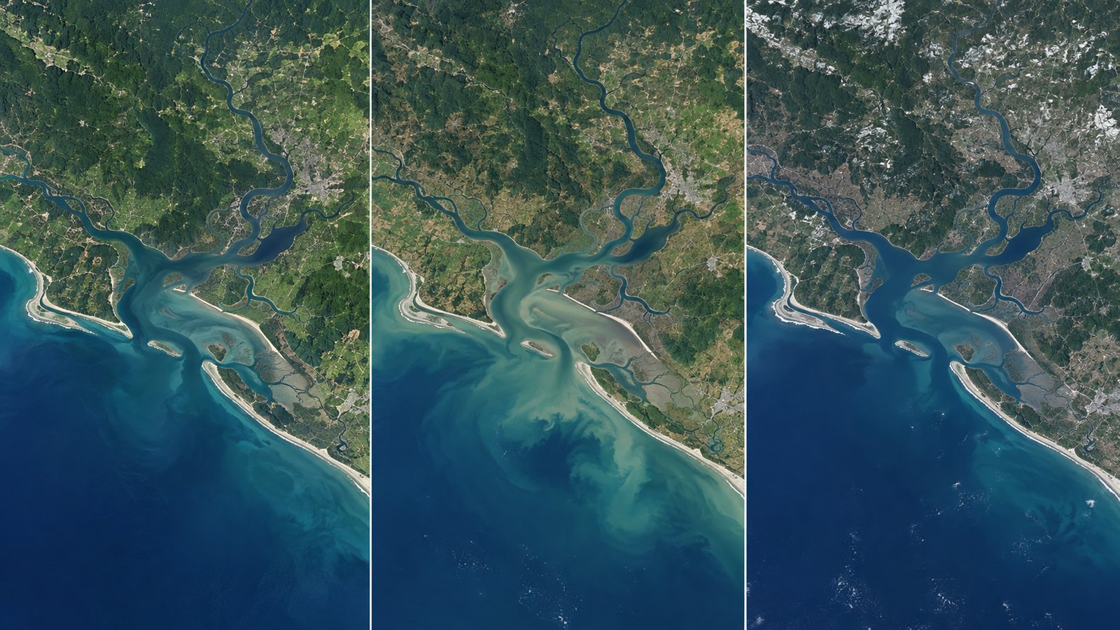
A practical workflow for browsing the same place across dates while keeping the imagery layer, map scale, atmospheric clouds and data coverage in view.
Read guide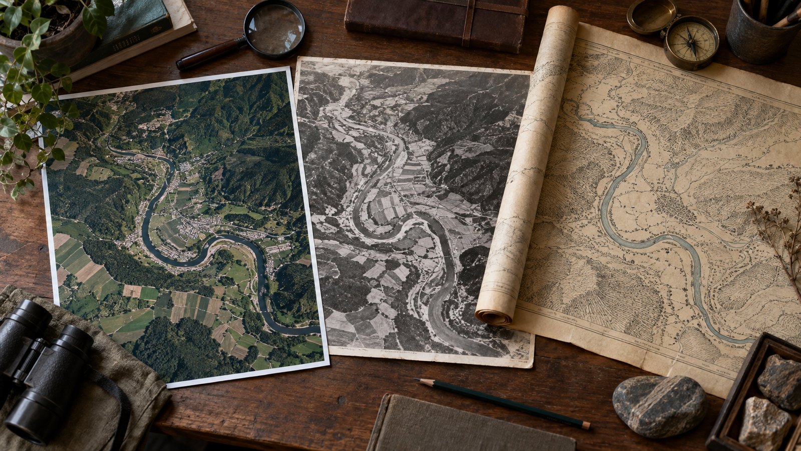
Choose between a quick timeline, a satellite data archive and an aerial-photo or map collection based on date, detail and evidence needs.
Read guideFAQ
These answers are written for visitors who may not yet know the difference between satellite imagery, Google Earth, Google Maps, and aerial photography.
Search the address or place, choose a public satellite layer, and select a date. If you need roof-level old photos, an aerial-photo archive is usually a better source.
No. EarthTrace uses public NASA and USGS-style layers. It does not host, copy, or replace Google Earth or Google Maps historical imagery.
Often, yes for Landsat-era public imagery, but the usable date, cloud cover, and detail depend on the sensor and location.
Many NASA and USGS public satellite layers are free to view. Commercial high-resolution imagery and certified aerial-photo products may require payment.
Satellites record real conditions. Clouds, snow, narrow scene footprints, and sensor gaps can leave missing areas on a specific day.
EarthTrace can export the visible map view. For original GeoTIFF scenes, metadata, or official records, use USGS EarthExplorer or the relevant archive.