Guides
Satellite Timeline Map by Date
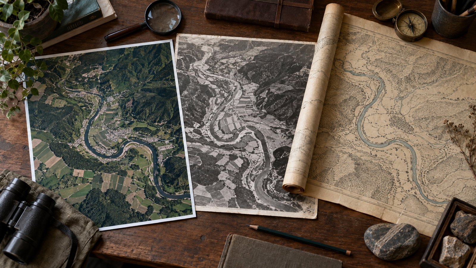
A practical workflow for browsing the same place across dates while keeping the imagery layer, map scale, atmospheric clouds and data coverage in view.
Updated:
Start with one place and one question
Frame a city, shoreline, farm or other feature large enough to recognize at the chosen scale. Write down what you want to inspect before moving the timeline; this reduces the temptation to treat every color difference as change.
Keep a few stable landmarks in view. Roads, coastlines and large blocks help you notice when you have panned or zoomed away from the original frame.
Choose a layer that matches the task
EarthTrace offers NASA HLS 30 m city-detail layers and broader daily MODIS or VIIRS true-color layers. Keep the same layer while comparing dates because sensor, resolution and rendering changes can alter appearance.
Thirty-metre imagery cannot reliably show individual homes. MODIS and VIIRS are useful for broad regional context, not property-level inspection.
Move to a date and confirm what loaded
Select the target day, then read the date shown on the map. HLS coverage is not complete for every place or day, so EarthTrace may suggest a nearby available date; that displayed day is the one to record.
Use previous or next available imagery when the target is blank. A missing day is missing evidence, not proof that the surface was unchanged.
Check clouds, gaps and seasonal effects
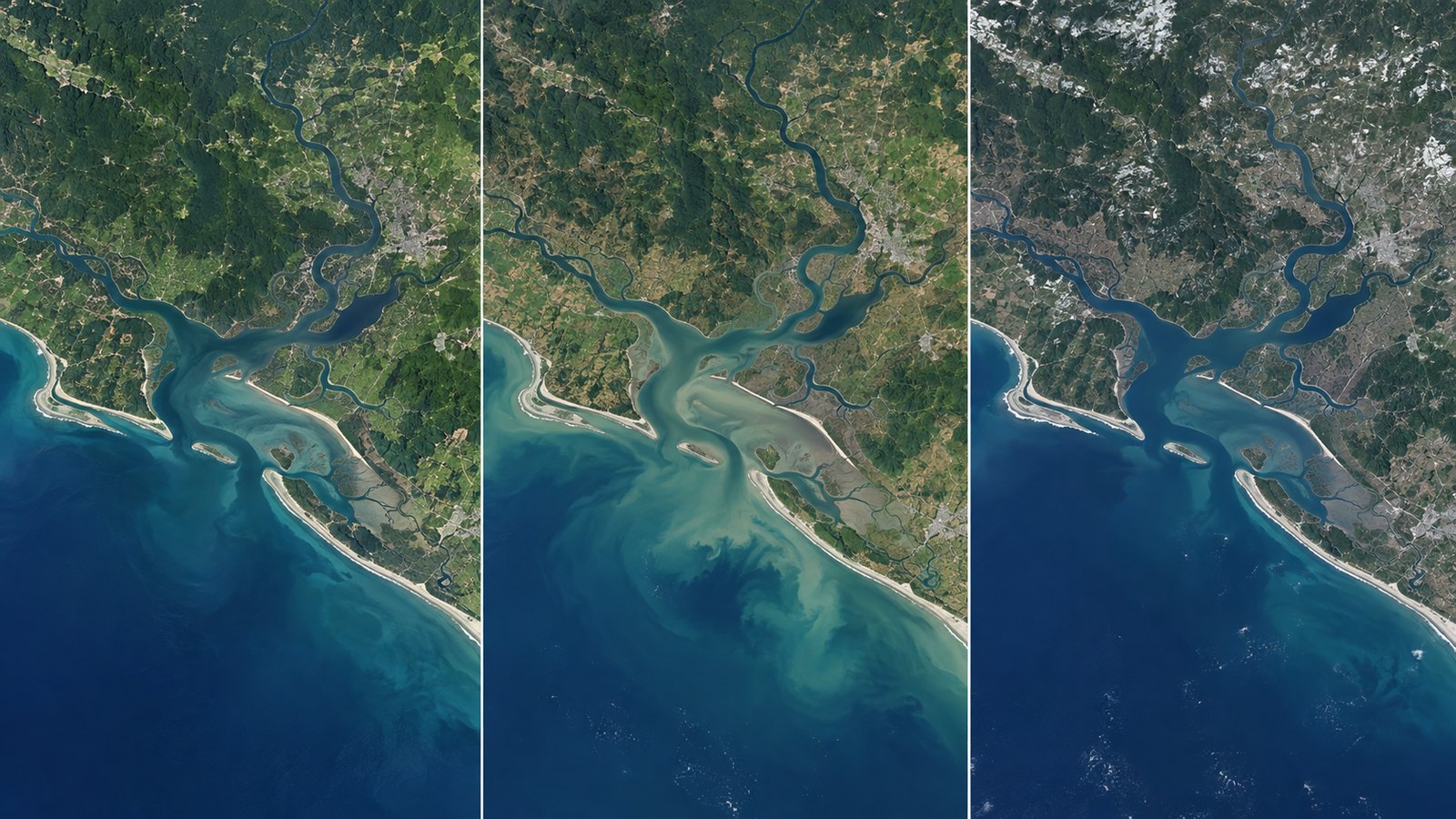
Inspect cloud, haze, snow, shadows and transparent gaps before comparing land features. Similar calendar months often make a fairer visual pair, although they do not guarantee matching atmosphere or illumination.
Try a neighboring date if the subject is obscured. Preserve the actual date rather than relabeling it as the date you originally wanted.
Keep the frame and evidence reproducible
Copy a share link to preserve the layer, date, center and zoom, or export the current map as PNG when browser tile permissions allow. Record the source layer and date beside any screenshot.
A share link restores map settings; it is not a permanently stored image, and the upstream public service can change.
Know when to use a full archive
EarthTrace is a map for browsing imagery, not a raw-data catalogue or scientific analysis system. Use USGS EarthExplorer or another satellite data archive when you need original satellite files, metadata filters, calibrated bands or a defensible acquisition record.
Treat the timeline as a way to find promising dates and visible patterns, then verify important claims in the appropriate source archive.
Frequently asked questions
Why is my selected date blank?
The chosen layer may not cover that place on that day, or tiles may be unavailable. Try a nearby date or a broader MODIS/VIIRS layer.
Does the date describe every visible pixel exactly?
It is the viewer layer date, not a guarantee of one precise acquisition time for every pixel in the composed map.
Can I measure land change from the screenshot?
No. A screenshot supports visual inspection only; measurement requires suitable source data, georeferencing and an analysis workflow.
Are cloudy images removed automatically?
No. Clouds and haze remain visible and must be judged by the reader.
Sources
Use the tool as a first step
Browse imagery, then move to an original-data archive when the question requires calibrated evidence.