Guides
Historical Satellite Images and Old Map Archives
Choose between a quick timeline, a satellite data archive and an aerial-photo or map collection based on date, detail and evidence needs.
Updated:
Define “historical” for your question
Write down the place, earliest acceptable date, required detail and whether you need a view or a downloadable source file. “Old imagery” can mean yesterday, twenty years ago or a pre-satellite aerial photograph.
The right archive depends more on those constraints than on the word historical.
Use a timeline for fast orientation
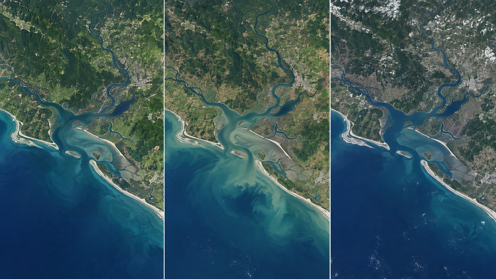
A browse timeline is efficient when you want to recognize broad urban growth, coastline position, reservoir shape or a large disturbance. Search the place, select a layer and move through available dates.
Use it to discover candidate dates, not to claim that it contains every scene ever collected.
Use EarthExplorer for source scenes
USGS EarthExplorer searches satellite, aircraft and other remote-sensing inventories by area, date and dataset. It is better suited to original downloads, metadata and mission-specific filtering than a simple browse map.
Dataset availability, accounts and download steps vary. Read the record for the exact scene you intend to use.
Look beyond satellites for older local detail
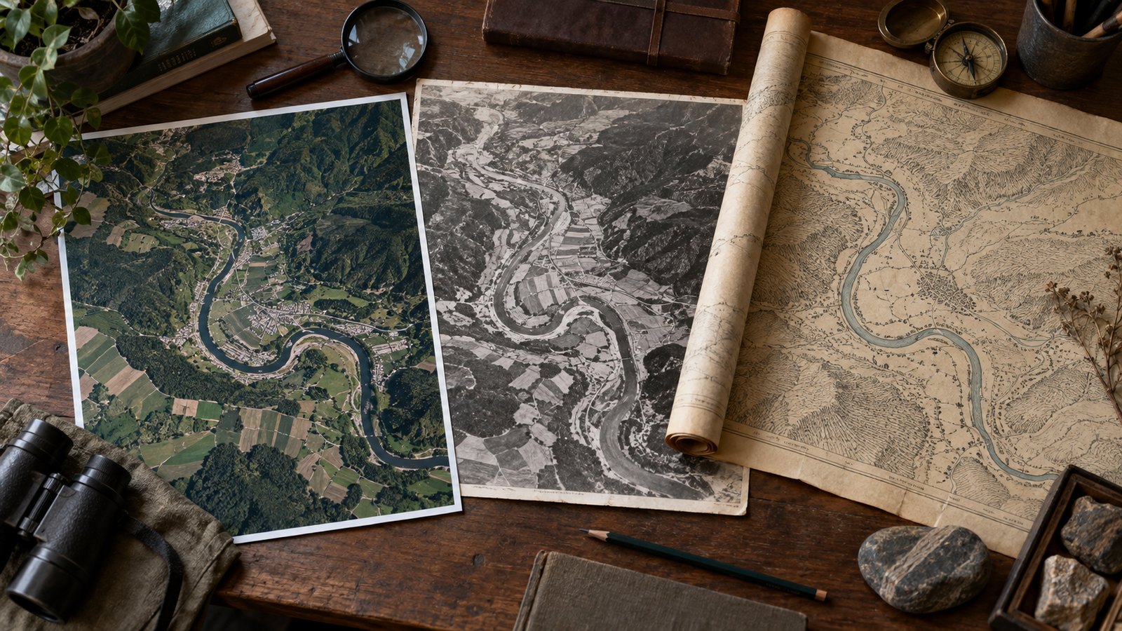
Historical aerial photography, cadastral maps and local map libraries may reach further back or show finer local detail than moderate-resolution satellite records. Search national mapping agencies, state archives, city libraries and university collections.
A scan of an old map and a satellite observation are different evidence types; label each source clearly.
Compare archives without forcing equivalence
Match scale, season and orientation where possible, but do not assume two collections use the same projection, color processing or capture method. A cleaner modern image can appear more detailed simply because of processing.
Use stable landmarks and record uncertainty when boundaries or dates are approximate.
Preserve provenance and limits
Record the archive name, dataset, displayed or acquisition date, access URL and any license or attribution note. Keep the original record separately from a cropped presentation image.
EarthTrace does not download raw Landsat scenes, search every historical collection or validate legal boundaries.
Frequently asked questions
How far back can satellite images go?
It depends on the mission and place. Landsat provides a long-running record, while older local history may require aerial photographs or maps.
Is Google Earth the same as a scientific archive?
No. It is a useful viewing product, but source selection, dates, licensing and download options differ from mission archives.
Why do two archives show different colors?
They may use different sensors, bands, processing, atmosphere or seasons. Color alone is not proof of surface change.
Can EarthTrace find historical aerial photos?
No. It browses selected NASA satellite layers; aerial-photo and map archives must be searched separately.
Sources
Use the tool as a first step
Browse imagery, then move to an original-data archive when the question requires calibrated evidence.